Cyclocane
( cyclocane is a CYCLOne and hurriCANE tracker by hayley )



Hayley here - Do you like lofi music whatever music Hayley put on and terrifyingly loud computer voices? Then stop by the 24/7 ish severe weather live stream!
* stats delayed and were probably not accurate to begin with
Hurricane Forecast - Tropical Weather Outlook
Eastern Pacific Basin
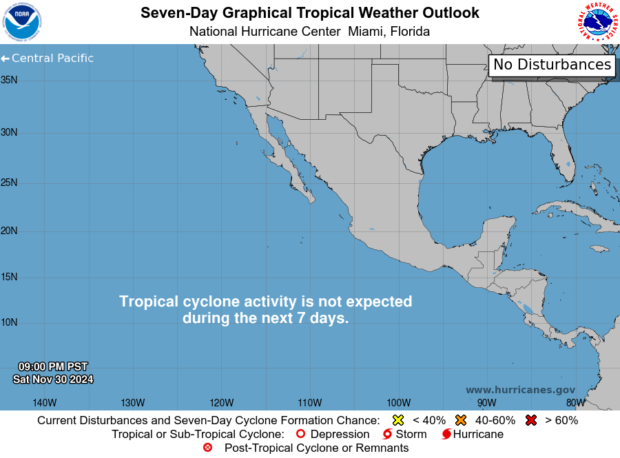
Eastern Pacific Active Storms
100% chance in 48 hours / 100% chance in 7 days
Southwest of Mexico (EP92): Showers and thunderstorms are becoming better organized in association with a gale-force area of low pressure located several hundred miles south-southwest of the southern tip of the Baja California Peninsula. In addition, recent satellite-derived wind data indicate that the surface wind circulation is becoming better defined. If current trends continue, then advisories would be initiated on a tropical storm later this morning as the system moves west-northwestward at 10 to 15 mph. Additional information on this system, including gale warnings, can be found in High Seas Forecasts issued by the National Weather Service. * Formation chance through 48 hours...high...near 100 percent. * Formation chance through 7 days...high...near 100 percent.
40% chance in 48 hours / 40% chance in 7 days
Central East Pacific (EP91): Disorganized showers and thunderstorms are persisting with a broad area of low pressure located well to the south-southwest of the southern tip of the Baja California Peninsula. Environmental conditions could support the development of a short-lived tropical depression during the next day or two before it interacts or merges with the disturbance to its northeast (EP92). * Formation chance through 48 hours...medium...40 percent. * Formation chance through 7 days...medium...40 percent.
0% chance in 48 hours / 60% chance in 7 days
Well Southwest of Southwestern Mexico: Another area of low pressure is expected to develop well south of the southern tip of the Baja California Peninsula during the middle portion of this week. Some slow development is expected thereafter, and a tropical depression could form by the end of the week while the system moves generally west-northwestward. * Formation chance through 48 hours...low...near 0 percent. * Formation chance through 7 days...medium...60 percent.
Atlantic Basin

Atlantic Active Storms
No active storms
10% chance in 48 hours / 10% chance in 7 days
Northeastern Atlantic: A non-tropical area of low pressure located a few hundred miles west of the coast of Portugal is producing limited shower activity. This system has only a slight chance of acquiring subtropical characteristics later today while it moves eastward to east- northeastward at 10 to 15 mph toward Portugal and northwestern Spain. By tonight, the low will encounter unfavorable environmental conditions, and further development is not expected. For more information, see High Seas Forecasts issued by Meteo France. * Formation chance through 48 hours...low...10 percent. * Formation chance through 7 days...low...10 percent.
20% chance in 48 hours / 30% chance in 7 days
Central Subtropical Atlantic (AL95): A broad area of low pressure located a few hundred miles southeast of Bermuda continues to produce disorganized shower and thunderstorm activity. Some development of this system is possible during the next few days as it drifts northwestward today and then accelerates northward early this week. * Formation chance through 48 hours...low...20 percent. * Formation chance through 7 days...low...30 percent.
0% chance in 48 hours / 50% chance in 7 days
Eastern Tropical Atlantic: A tropical wave is expected to move off the west coast of Africa on Monday, and an area of low pressure could form in association with the wave early this week. Environmental conditions are forecast to be marginally conducive for development, and a tropical depression could form by the middle to latter portions of the week while the system moves generally westward at 15 to 20 mph across the eastern and central tropical Atlantic. * Formation chance through 48 hours...low...near 0 percent. * Formation chance through 7 days...medium...50 percent.
When is the Tropical Weather Outlook updated?
Every day, during hurricane season, the National Hurricane Center issues tropical weather outlooks at the following Pacific and Eastern times.- 5 AM PDT / 8 AM EDT
- 11 AM PDT / 2 PM EDT
- 5 PM PDT / 8 PM EDT
- 11 PM PDT / 2 AM EDT
site by Hayley Croft
Hi, I'm Hayley. Did you know that I run this site out of my own pocket? So if you'd like to help support this site:
- Tell your friends about Cyclocane
- Buy something through this Amazon Cyclocane link
- make a donation - totally optional but completely appreciated
Make a monthly donation or a one-time donation to help support ongoing costs with Cyclocane.
Play solitaire and track all of the cyclocane storms at the same time at Hurricane Solitaire.